Clara Perry · 24 September 2026
Local Residents Document Shifting River Currents and Their Effect on Historical Mill Foundations Through Citizen Science Initiatives
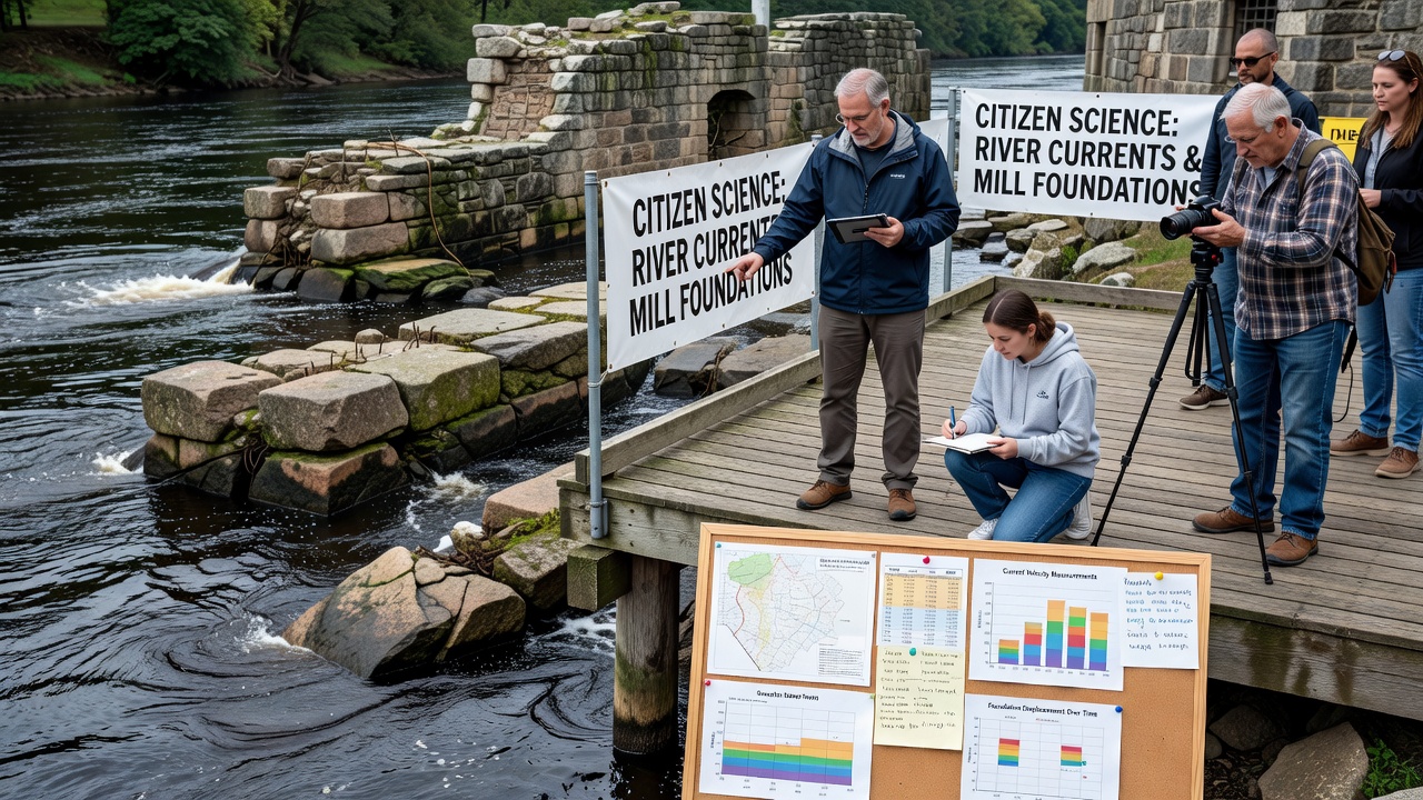
Local residents in Glenforge have organized citizen science programs to track changes in river currents and assess their impact on the foundations of historic mills that date back centuries, with data collection efforts expanding steadily since the early 2020s. Participants use simple tools alongside digital apps to record water flow patterns, sediment movement, and structural conditions at key sites along the river, creating datasets that researchers and heritage groups now reference regularly.
Historical Mills and River Dynamics
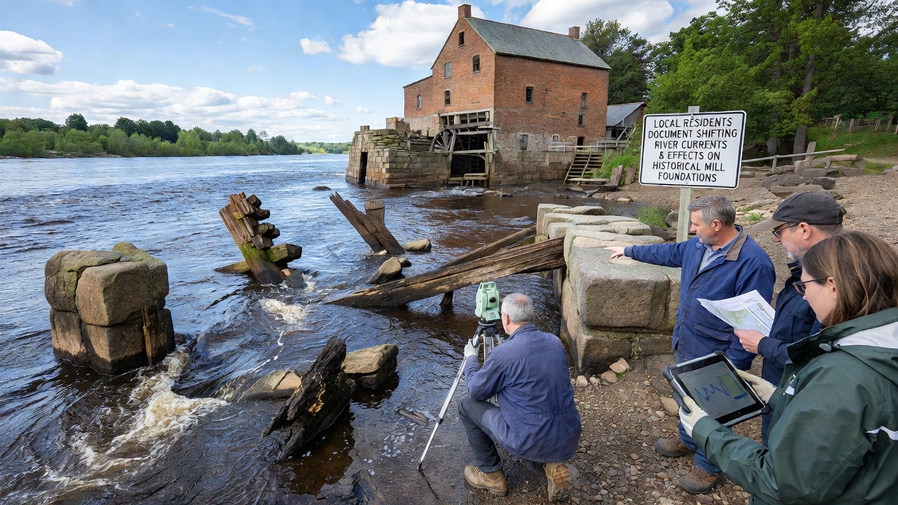
Glenforge's mills once powered local industry through water wheels and channels that harnessed steady river flow, yet shifting currents have introduced new pressures on stone and timber foundations over recent decades. Observers note that increased variability in water levels, driven by upstream land use changes and seasonal weather patterns, has accelerated erosion at several locations where mills still stand as preserved structures or ruins. Those involved in the projects compile measurements of current velocity and bank stability to build a clearer picture of how these forces interact with aging masonry.
Methods Used in Citizen Science Monitoring
Volunteers receive training from regional environmental organizations before deploying floating sensors and taking manual readings at fixed points along the river, while smartphone applications allow them to upload photos and notes that feed into shared databases. This approach combines traditional observation techniques with modern data logging, enabling consistent records even during periods of high flow when professional teams face access challenges. Data shows that participants have logged over two thousand individual measurements in the past three years, covering both normal conditions and extreme events that reveal how currents undercut foundations at different depths.
Findings on Current Shifts and Structural Effects
Analysis of collected information indicates that certain bends in the river now experience stronger lateral flows during spring thaws, directing more force against mill walls that previously sat in calmer eddies. Sediment samples taken by residents reveal higher rates of deposition on one side of foundations while the opposite side loses material, creating uneven stress that can lead to cracking over time. Researchers from nearby universities have cross-checked these observations against older survey maps, confirming that several sites have lost measurable portions of their base since the mid-20th century.
One study coordinated through a Canadian research network found similar patterns at heritage sites in Ontario, where volunteer monitoring programs documented comparable erosion linked to altered flow regimes. Those results, available through USGS citizen science resources, helped Glenforge participants refine their own protocols for measuring both velocity and sediment load.
September 2026 Data Collection Milestone
In September 2026 the project reached a new phase when residents installed additional fixed monitoring stations at three mill locations, timed to capture autumn flow changes before winter freeze-up. The expanded network allows continuous logging that supplements periodic manual surveys, and early returns already show elevated current speeds near one foundation that had remained stable in prior seasons. Project coordinators plan to release preliminary trend reports by year-end, integrating the new readings with historical records to highlight areas requiring priority attention from preservation authorities.
Community and Expert Collaboration
Local groups partner with heritage trusts and academic departments to validate findings and translate raw numbers into actionable maps that show vulnerability zones along the river corridor. Workshops held throughout the year teach newcomers how to interpret current data and recognize early signs of foundation stress, broadening participation beyond the initial core of volunteers. This model draws on approaches documented in Australian environmental monitoring programs, where citizen contributions have informed long-term river management plans across multiple states.
Conclusion
The Glenforge citizen science initiatives continue to generate detailed records of river current behavior and its interaction with historic mill foundations, supplying information that supports both scientific analysis and site management decisions. As the September 2026 data streams integrate with existing archives, the accumulated evidence points toward ongoing adjustments in monitoring frequency and technique. External resources such as those from Australian government environmental research pages offer comparative frameworks that participants review when evaluating their own results. The effort demonstrates how sustained local observation can contribute measurable insights into the evolving relationship between waterways and cultural heritage structures.