Yara Hughes · 10 September 2026
Community-Led Mapping Projects Reveal Hidden Industrial Layers Beneath Glenforge's Modern Landscape
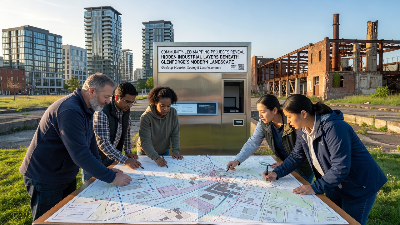
Community groups across Glenforge have turned to collaborative mapping initiatives that combine historical records with modern geospatial tools, and these efforts continue to expose multiple layers of industrial activity hidden beneath current streets and parks. Local residents work alongside archaeologists and cartographers to overlay 19th-century Ordnance Survey maps onto contemporary satellite imagery, which reveals foundations of former forges, rail sidings, and mill ponds now covered by housing estates and retail developments. Data collected through smartphone applications and drone flights shows that many green spaces sit directly above buried slag heaps and canal basins that once supported heavy manufacturing in the region.
The Scope of the Mapping Initiative
Participants gather every weekend to document surface anomalies such as unusual subsidence patterns and vegetation changes that often mark the locations of older infrastructure, while they cross-reference findings with archival photographs held in regional libraries. In September 2026 a new fieldwork phase will expand coverage to the eastern perimeter of Glenforge, where preliminary scans already indicate the presence of a disused branch line that connected the original forge complex to the main railway network. These coordinated surveys produce layered digital maps that planners and heritage officers can access through an open-source platform hosted by the local authority.
Technological Tools and Data Integration
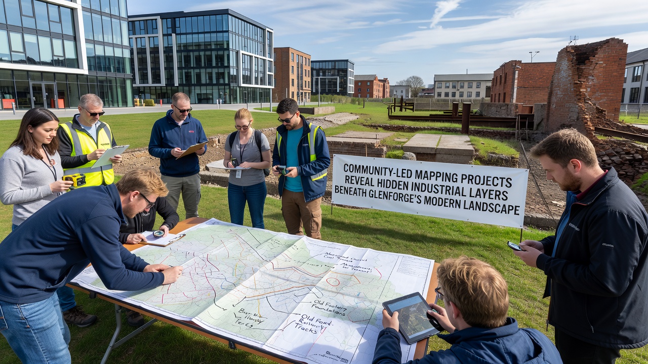
Volunteers employ ground-penetrating radar units borrowed from university geology departments alongside free GIS software to create three-dimensional models of subsurface features, and the resulting datasets allow researchers to distinguish between Roman-era ironworking remains and later Victorian-era expansions. British Geological Survey records confirm that coal seams and ironstone deposits lie at shallow depths throughout the area, which explains why industrial activity concentrated here for centuries before the landscape was redeveloped after the mid-20th century. Integration of these geophysical readings with historical tithe maps produces a chronological sequence that shows how each generation built upon the remnants of the previous one rather than clearing sites entirely.
Key Findings from Recent Surveys
One survey completed last spring identified a network of underground brick-lined culverts that once drained water from a rolling mill into the river, and these structures now lie beneath a popular cycling path. Another team located the footprint of a 19th-century gasworks that supplied fuel to nearby factories, its perimeter marked by soil contamination patterns still detectable through portable spectrometers. Such discoveries demonstrate that modern Glenforge rests on a palimpsest of industrial phases, each leaving physical traces that community mapping brings back into view.
Community Participation and Training
Training sessions held at the local library teach residents how to operate basic surveying equipment and upload observations to a shared database, while school groups contribute by digitising old photographs and newspaper clippings that add narrative context to the spatial data. The process encourages intergenerational exchange because older residents often recall stories of factory closures that younger participants then verify through archival research. Participation has grown steadily since the project began, with more than 200 individuals contributing at least one dataset during the past twelve months.
Implications for Planning and Heritage
Local planning officers now consult the community-generated maps before approving new construction, because the information helps identify areas where ground disturbance could encounter protected archaeological remains or require additional remediation for legacy contamination. The approach aligns with guidance from the European Environment Agency on integrating citizen science into urban environmental monitoring, and similar projects in other former industrial regions have influenced policy on brownfield redevelopment. By making these hidden layers visible, the mapping work supports more informed decisions about which sites merit preservation and which can accommodate new uses without erasing significant history.
Future Phases and Data Sharing
Project coordinators plan to release an updated interactive map in late 2026 that incorporates findings from the September fieldwork, and they intend to partner with neighbouring communities to create a regional atlas of industrial heritage. Universities in both the United Kingdom and Canada have expressed interest in using the Glenforge dataset for comparative studies of post-industrial landscapes, which would extend the reach of the community effort beyond its original boundaries. Open licensing of the maps ensures that anyone can build upon the work, provided proper attribution is maintained.
Conclusion
Community-led mapping in Glenforge continues to bring successive industrial layers into focus through systematic collection and integration of diverse data sources. The resulting visualisations connect present-day residents with the physical legacy of earlier economic activity, and they supply practical tools for managing future development in a historically layered environment. As the September 2026 phase begins, the project stands to add further detail to an already rich picture of how the modern landscape rests upon earlier foundations.